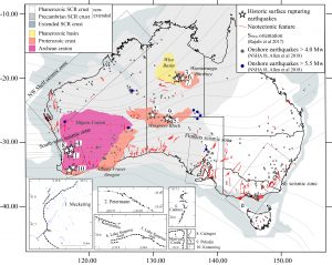
Ryan Gold1, Dan Clark2, William Barnhart3, Tamarah King4, Mark Quigley4, Richard Briggs1 (1USGS; 2Geoscience Australia; 3Department of Earth and Environmental Sciences, University of Iowa; 4School of Earth Sciences, University of Melbourne)
Geophysical Research Letters, 2019
Background:
As described in a previous post, we got out to the 2016 Petermann surface rupture within ~ 8 days. The only data at that point was a magnitude, some aftershocks, a focal mechanism, an ever-moving epicentre (seismologists were still refining their locations), and some cracking along a dirt road observed by Dan Clark (Geoscience Australia) during deployment of temporary seismometers. After only a few days we were forced out of the field due to rain, but thanks to a 20km hike in the wrong direction, we knew the fault was NE dipping and located at the cracking observed by Dan.


Examples of the road cracking in question
As we sat waiting for the roads to dry out so we could finally go and look for the rupture, colleagues in the USA and at Geoscience Australia were busy analyzing post-earthquake satellite data. InSAR across the Petermann earthquake location became available, and showed a clear ~21 km long fault rupture at the surface, with up to 1 m of offset in the direction of the satellite. This was the first new information to reach us, and supported our field observations.

InSAR interferogram from Geoscience Australia